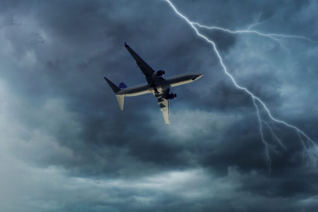
Millions of Americans are setting out for Thanksgiving 2025 just as a sprawling storm system gathers strength across the country, raising the risk of major delays on roads and in the air. Federal officials say this week is on track to be the busiest Thanksgiving travel period in at least 15 years, with more than 360,000 flights scheduled nationwide and a peak of over 52,000 flights expected on Tuesday, November 25 alone. Nearly 82 million people are forecast to travel 50 miles or more from home by car, plane, train or bus.
The Federal Aviation Administration (FAA) has said it is prepared for the surge after a recent government shutdown contributed to staffing shortages and flight cancellations earlier in the month. With normal operations restored, the agency is stressing that weather – rather than air-traffic capacity – is now the primary threat to keeping people moving on schedule. Busy terminals from Atlanta and Chicago to New York City and Los Angeles are already seeing heavier-than-usual crowds, and long lines are expected on interstate corridors such as I-95, I-80 and I-10 as the holiday approaches.
Storm System Targets Multiple Regions
Forecasters are tracking a powerful low-pressure system sweeping from the Plains into the Midwest and Great Lakes, while separate disturbances trigger storms in the South and heavy rain along the East Coast. The combination of severe thunderstorms, flooding rain, strong winds, fog and snow could disrupt travel plans for millions of people during the peak getaway days on Tuesday and Wednesday.
In the South Central states, including parts of Texas, Arkansas, Louisiana and Mississippi, bands of heavy rain and embedded thunderstorms are expected to roll through, raising the risk of localized flash flooding and lightning-related delays at major hubs such as Dallas–Fort Worth and Houston. Farther north, colder air wrapping around the storm is forecast to turn rain to snow across sections of the Dakotas, Minnesota, Wisconsin and Michigan, where bursts of heavy, wind-driven snow may reduce visibility to near zero along stretches of Interstate 29 and Interstate 94.
Lake-effect snow bands downwind of the Great Lakes could deliver more than a foot of accumulation in favored corridors, prompting winter storm warnings and travel advisories. Gusty winds in these snowbelts may produce whiteout conditions at times, particularly from northern Wisconsin into Michigan’s Upper Peninsula and parts of upstate New York and northern Pennsylvania.
Airports And Highways Facing Disruption Risk
Airports from the Midwest to the Northeast and Pacific Northwest are bracing for potential knock-on delays as the weather pattern evolves. Low clouds and dense fog are expected at times from the Northeast seaboard down through Florida, conditions that can slow takeoffs and landings even where rain is light. Major hubs including Boston, New York’s airports, Philadelphia, Atlanta, Chicago O’Hare, Seattle and Washington, D.C. could all see periods of ground stops or flow restrictions as storms pass through.
On the ground, motorists may encounter rapidly changing conditions along major routes. In parts of the Midwest and Great Lakes, a quick shift from rain to wet snow could create icy patches, particularly overnight and during the early-morning hours when road temperatures drop. Farther south, bands of heavy rain and thunderstorms could lead to ponding on highways and reduced visibility, especially after dark. Transportation officials are urging drivers to slow down, leave extra following distance and allow additional time to reach their destinations.
Officials Urge Flexible And Informed Travel Plans
With a wide range of hazards in the forecast, federal and local authorities are encouraging travelers to build flexibility into their plans. Airlines are urging passengers to monitor their flight status frequently, use carrier apps to receive real-time notifications, and head to the airport earlier than usual to account for longer security lines and possible weather-related holds. Many carriers have issued travel waivers for select routes, allowing customers to adjust itineraries without change fees where severe weather is most likely.
Highway agencies and state police are advising holiday drivers to check updated forecasts and road conditions before setting out, particularly in areas under winter storm warnings or flood watches. Simple precautions – including keeping extra warm clothing, food, water and phone chargers in the vehicle – are being recommended for those crossing higher-risk regions such as the Upper Midwest, the Great Lakes snowbelts and mountainous stretches of the Pacific Northwest.
Emergency managers note that the same storm system bringing snow to the north and heavy rain to the south is also ushering in a surge of Arctic air, which will drop temperatures below seasonal averages in many locations by the end of the week. That colder air mass could extend slick travel conditions beyond the main holiday, potentially affecting post-Thanksgiving return journeys on Saturday and Sunday, when traffic volumes are also expected to remain high.


