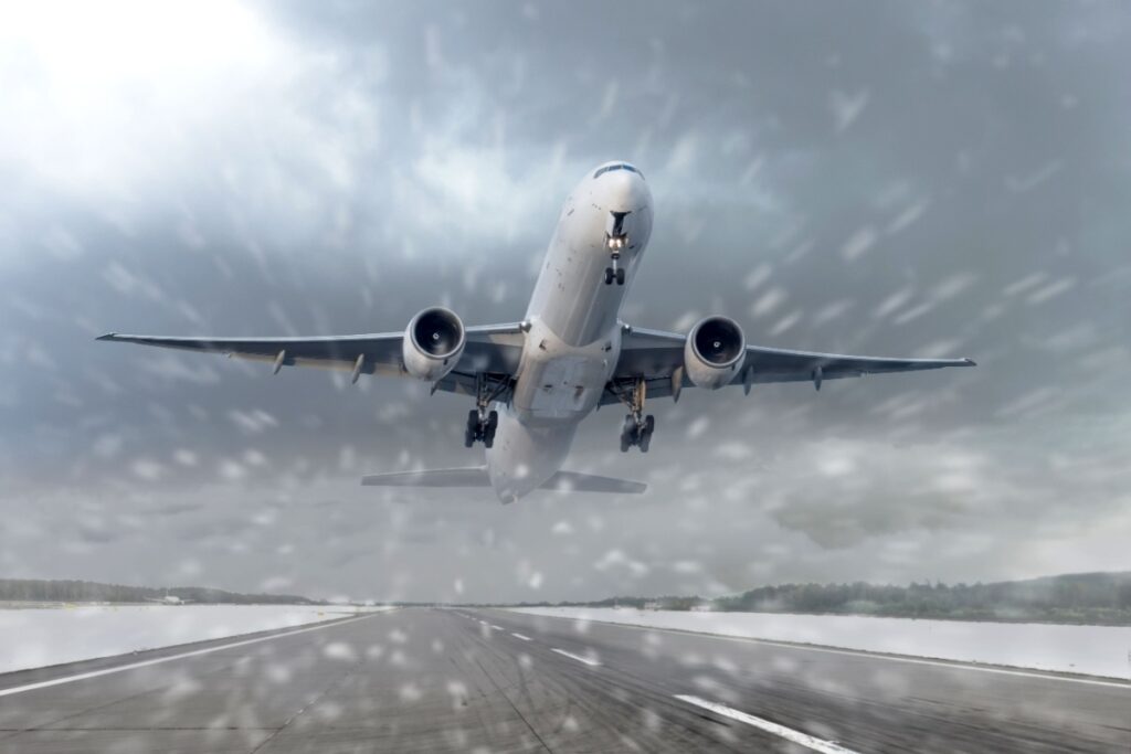
A major winter storm is forecast to disrupt post-Thanksgiving travel across more than 40 states, threatening plans for millions of people returning home after the holiday. The system is expected to take shape from Black Friday through the weekend as a dip in the jet stream pulls arctic air south and helps spin up a strong low-pressure area over the central Rockies and Plains.
This weather pattern arrives just as AAA projects a record 81.8 million Americans traveling at least 50 miles from home during the Thanksgiving period, with more than 73 million expected to drive and about 6 million taking flights. The TSA is preparing to screen over 3 million passengers on the Sunday after Thanksgiving, potentially one of the busiest air-travel days in its history, increasing the risk that weather-related delays will ripple across the network
Heavy Snow For Rockies And Midwest
Snow is expected to begin in earnest on Friday, with Denver forecast to receive around 1–3 inches, a modest but noteworthy total after a prolonged dry stretch with little measurable snow so far this season. Even relatively low amounts could still lead to slick roads and minor disruptions at Denver International Airport, where many travelers connect to flights across the country.
As the storm intensifies on Saturday, forecasters anticipate a broad swath of heavier snow from the central Plains into the Midwest. Parts of Iowa, Wisconsin and Illinois could see 5–12 inches of accumulation, including in major population centers such as Chicago, Milwaukee and Madison. Strong winds may produce periods of blowing and drifting snow, sharply reducing visibility on interstates and secondary roads.
Chicago, in particular, could experience one of its snowiest November weekends on record if the current forecast verifies. That would have direct implications for air travel at O’Hare International Airport and Midway International Airport, key national hubs where even modest schedule disruptions can cascade into delays and cancellations nationwide. Travelers driving through the region have been advised to build in extra time, carry winter emergency supplies and check road conditions before setting out.
Rain, Thunderstorms And Flooding In The South
While snow dominates the northern side of the storm, the system’s southern flank will drag a cold front across the Southern Plains and Lower Mississippi Valley, where warm, moist air from the Gulf of Mexico is expected to fuel rounds of heavy rain and thunderstorms. Forecast models indicate that parts of Texas, Arkansas and Louisiana could see intense downpours, with localized rainfall rates high enough to trigger flash flooding in poor-drainage and urban areas through Saturday.
In addition to flooding concerns, some storms in the South may produce strong, gusty winds capable of downing tree limbs and power lines. Even without severe weather, persistent rain could slow traffic along major corridors and increase the risk of hydroplaning, particularly during periods of heavy volume as drivers return from holiday gatherings. Motorists are being urged to reduce speed in heavy rain, allow extra stopping distance and avoid driving through water of unknown depth.
Airports in the South, including busy hubs in Dallas, Houston and Atlanta, may face weather-related delays as thunderstorms move through. Airline industry groups say carriers are already expecting a record 31 million passengers over the broader Thanksgiving travel window, meaning schedule disruptions in one region can quickly affect flights elsewhere in the country as aircraft and crews fall out of position.
Northeast And Great Lakes Face Ongoing Disruptions
By late weekend, the storm is expected to sweep into the Northeast and New England, bringing a changing mix of rain, snow and wintry mix depending on elevation and distance from the coast. Urban areas along the I-95 corridor could see mainly cold rain or a brief period of snow, while interior sections of New York, Pennsylvania and northern New England may pick up accumulating snow and experience slick roads into Sunday and Monday.
At the same time, a separate but related lake-effect snow event is already producing dangerous whiteout conditions downwind of the Great Lakes. Bands of intense snow have been hammering parts of Wisconsin, Michigan, Ohio, Pennsylvania and western New York, with totals approaching 3 feet in some communities and blizzard warnings in portions of Michigan’s Upper Peninsula. The broader storm system is likely to reinforce these bands, prolonging hazardous travel near the lakes.
Forecasters emphasize that exact snow totals and the precise track of the system remain uncertain, but they agree that travel impacts could persist into Monday, especially in regions that experience heavy snow or flooding. With record-high numbers of people on the move, authorities are urging travelers to monitor the latest forecasts, check airline and highway updates in real time and be prepared to adjust plans if conditions deteriorate.


