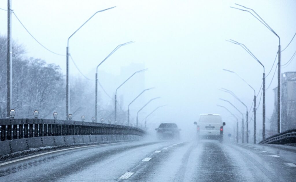
Holiday travel across the United States is expected to face a mixed set of weather hazards ahead of Christmas, with forecasters pointing to the West as the main trouble spot. Pacific storms are forecast to push moisture ashore, bringing periods of heavy rain to coastal areas and snow to higher terrain. A large area of high pressure over the nation’s interior is expected to keep much of the Plains and South unusually warm for late December.
The result is an uneven map for travelers: relatively quiet conditions across many central routes, but higher risk on the West Coast and through mountain corridors. Meteorologists say the most active phases are likely to arrive around Christmas Eve and Christmas Day, when traffic volumes typically peak.
West Coast Rain Raises Flood And Landslide Concerns
Northern California is expected to be a focal point as an atmospheric river concentrates moisture over the region. The National Weather Service has issued flood watches for much of Northern California. Forecasters warn that rainfall could be intense enough to trigger flooding and raise the likelihood of rockslides and debris flows, especially where ground conditions are already saturated. In the hardest-hit areas, totals of 4 to 6 inches or more are possible, and short bursts may approach 0.5 inch per hour, a rate that can overwhelm drainage, create hazardous ponding on roadways, and lead to rapid rises on small streams.
Snow levels are forecast to fluctuate, with periods when rain reaches well into the mountains before colder air lowers freezing levels. Forecasters have also pointed to times when snow elevations are above 8,000 feet, which can increase runoff while delaying early snow accumulation on some passes. Even so, significant snowfall is expected in the Sierra Nevada as colder air arrives, increasing the chance of chain controls and slowed travel on major routes.
AccuWeather senior meteorologist Alex Sosnowski said the midweek storm could deliver “torrential rain” to parts of California while expanding snow to lower elevations in the mountains, a combination that can reduce visibility and complicate driving. AccuWeather also warned that enough snow could fall over Donner Pass to force temporary closures on Interstate 80, and that snow could reach Interstate 5 near the California–Oregon border and the Grapevine corridor in Southern California.
Rain and mountain snow are also expected at times in Oregon, Washington, and parts of the interior West, where additional runoff could renew localized flooding or mudslide concerns.
Northeast And Great Lakes May See Snow And Icy Mix
A separate system moving from the northern Great Lakes into the Northeast is forecast to bring light snow and mixed precipitation. While this setup is not expected to rival major winter storms, even modest totals can create delays when temperatures hover near freezing, particularly during early departures and nighttime driving.
Forecasters have described pockets of snow in upstate New York and New England, with some areas capable of several inches, while locations farther south may see sleet or freezing rain mixed in. A thin glaze can be difficult to detect on bridges and untreated roads, increasing the risk of crashes and slowdowns around busy airports and interstates.
Disruptions Could Ripple Through Air Travel
Airline delays often spread beyond the worst weather when aircraft and crews are displaced or when airports reduce arrival and departure rates. AccuWeather meteorologist Bernie Rayno warned that disruptions tied to California’s storms could ripple through the national network from Wednesday to Friday, affecting connecting itineraries far from the West Coast.
AccuWeather also noted that mild air farther east can bring indirect obstacles, including low clouds and fog in parts of the Mississippi and Ohio valleys, the Great Lakes, Appalachians, and portions of the mid-Atlantic. Those conditions can reduce visibility on runways and highways even when snowfall is limited. In the central U.S., record-challenging warmth has been flagged, including around 69°F in Denver, 77°F in Oklahoma City, and 51°F in Sioux Falls.
Transportation agencies generally advise travelers to monitor local alerts and allow extra time, particularly in mountain areas where conditions can change quickly.


