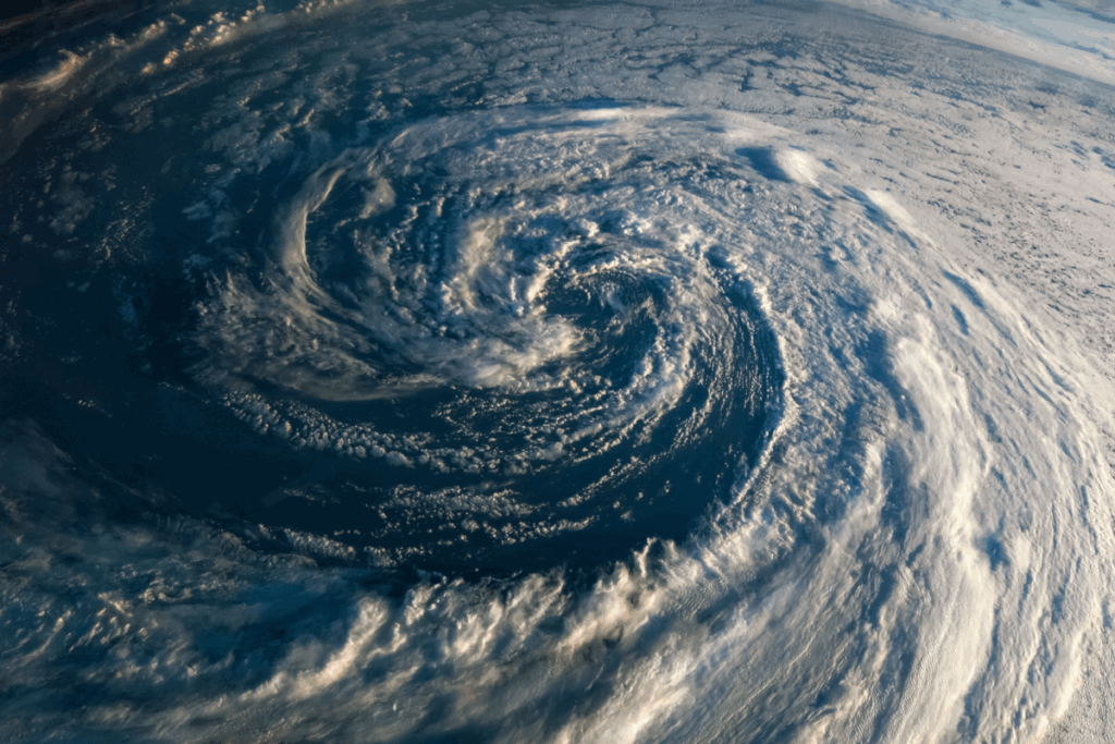
Category 5 Landfall Brings Catastrophic Destruction
Hurricane Melissa made a historic Category 5 landfall in Jamaica today, unleashing devastating winds, flash flooding, and landslides across the island. The storm’s sustained winds of 185 mph and central pressure of 892 millibars make it one of the most powerful hurricanes ever recorded in the Atlantic Basin.
According to the National Hurricane Center (NHC), Melissa is tied with the 1935 Labor Day hurricane as the third most intense storm on record based on pressure, and second only to 1980’s Hurricane Allen in terms of wind speed. The storm’s eye came ashore near Black River on Jamaica’s southern coast, while hurricane-force winds extended 30 miles from the center.
Weather stations across the island reported wind gusts exceeding 60 mph in Kingston and Montego Bay early this morning. Torrential rainfall has already begun to inundate the country, triggering life-threatening flash floods and mudslides in the island’s central and western regions.
Life-Threatening Rainfall and Storm Surge
Melissa’s slow movement means Jamaica faces prolonged rainfall and severe flooding. The NHC warns that as much as 40 inches of rain could fall across southern Jamaica and parts of Hispaniola, leading to catastrophic flooding and landslides, particularly in mountainous terrain.
Eastern Cuba is also under threat, with forecasts calling for up to 25 inches of rain through Wednesday, while the southeast Bahamas and Turks and Caicos could see up to 10 inches.
In addition to the rainfall, the NHC predicts storm surges of 9 to 13 feet above ground level along Jamaica’s southern coast — including the Kingston area and Norman Manley International Airport. Western Jamaica, near Montego Bay, could see surges of 2 to 4 feet, while eastern Cuba faces surges up to 11 feet as the storm approaches its coast later tonight.
A Record-Breaking Storm in a Volatile Season
Melissa is already the strongest tropical cyclone on Earth this year, surpassing all Pacific and Atlantic storms in both intensity and wind speed. It marks Jamaica’s most intense landfall in recorded history and the first Category 5 landfall anywhere in the Atlantic since Hurricane Dorian struck the Bahamas in 2019.
After battering Jamaica, Melissa is expected to move into eastern Cuba late tonight as a major hurricane before tracking toward the southeast Bahamas and Turks and Caicos on Wednesday. The storm is then forecast to weaken as it moves north toward Bermuda and transitions into a post-tropical system by Friday.
Meteorologists say Melissa’s rapid intensification — from a tropical storm to a Category 4 hurricane in just 24 hours — was fueled by the Caribbean’s unusually warm sea surface temperatures and favorable atmospheric conditions.
Widespread Damage and Dangerous Conditions Ahead
The NHC has warned that Melissa’s winds are capable of causing “total structural failure” in poorly built homes, along with widespread power and communication outages across Jamaica. In some areas, the terrain could amplify wind speeds by up to 30 percent.
Authorities have urged residents to remain indoors and move to higher ground. Even after the eye passes, tropical storm conditions could persist well into Tuesday night. In eastern Cuba, hurricane-force winds are expected tonight, while the Bahamas and Turks and Caicos will begin feeling tropical storm conditions early Wednesday.
Melissa’s impact adds to an already active 2025 hurricane season. It became the year’s 13th named storm last week and quickly escalated into the fifth hurricane of the season. Its extreme strength and timing underscore the growing volatility of late-season Caribbean storms, which scientists warn are becoming more frequent and intense.
As Jamaica faces one of the worst natural disasters in its history, emergency services and regional governments are preparing for widespread humanitarian needs, including power restoration, flood relief, and evacuation efforts in areas at risk of landslides and storm surge.


