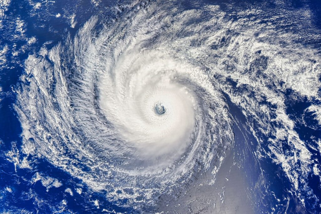
The National Hurricane Center (NHC) confirmed that Tropical Storm Narda strengthened into a Category 1 hurricane late Monday evening over the eastern Pacific Ocean, southwest of Mexico. At its latest advisory, the hurricane had maximum sustained winds of 85 mph (137 kph) with higher gusts recorded. The storm’s center was positioned about 295 miles (475 kilometers) southwest of Manzanillo, a major port city in the state of Colima. It was tracking westward at a speed of 13 mph (20 kph), moving away from land but still capable of generating indirect coastal impacts.
Narda’s Conditions and Current Strength
Narda’s pressure was measured at 985 millibars, indicating a well-organized system with the potential for short-term strengthening. The NHC emphasized that the storm’s structure showed a consolidated central core, and satellite imagery depicted clear bands of convection surrounding the eye. These developments were sufficient for the agency to reclassify it from a tropical storm to a hurricane.
The hurricane is part of the busy September period of the 2025 Pacific hurricane season, which historically sees the highest level of storm activity due to warm sea surface temperatures and favorable atmospheric conditions.
Forecast Path and Anticipated Developments
Meteorologists forecast that Narda will continue moving on a westward to west-northwestward track over open waters of the Pacific. The system is expected to remain away from the Mexican mainland, reducing the probability of direct landfall. Forecast models suggest that Narda could gain additional strength during the next 24 hours as it remains over warm ocean waters exceeding 29 degrees Celsius, conditions that are conducive to hurricane intensification.
However, by mid-week, the hurricane is likely to encounter increased wind shear and slightly cooler sea surface temperatures, which are expected to limit further intensification. The NHC’s outlook projects that Narda will maintain hurricane strength through Wednesday, before gradually weakening as it moves into less favorable conditions on Thursday and beyond.
The storm is not currently under any coastal warnings in Mexico, but authorities have advised vessels operating in the Pacific shipping lanes to remain cautious. Large swells generated by the hurricane are forecast to radiate outward, potentially creating hazardous conditions for maritime operations.
Coastal and Oceanic Impacts
Despite its offshore trajectory, Narda is already influencing coastal regions of western Mexico. Meteorologists warn that the hurricane will produce dangerous surf and strong rip currents along beaches in the states of Colima, Jalisco, and Michoacán. Residents and visitors are urged to exercise caution, as wave activity could intensify over the next several days. Even in the absence of landfall, such conditions can lead to coastal erosion and present risks for swimmers, surfers, and small craft operators.
The storm also poses a concern for local fishing fleets and cargo shipping routes. Authorities have recommended that smaller vessels remain in port until the storm passes further into the Pacific. Commercial shipping companies are closely monitoring Narda’s path to determine potential rerouting needs.
In addition, the circulation of the hurricane could enhance localized rainfall in mountainous inland areas if moisture is drawn toward the coast. While significant flooding is not currently anticipated, weather services in Mexico have highlighted the importance of monitoring these secondary effects, particularly in regions vulnerable to landslides.
Atlantic Developments: Hurricane Gabrielle Near the Azores
While Narda commands attention in the Pacific, the Atlantic basin is facing its own powerful system. Hurricane Gabrielle has intensified into a Category 4 hurricane, with maximum sustained winds of 140 mph (220 kph). At present, Gabrielle is located about 1,765 miles (2,840 kilometers) west of the Azores archipelago and is moving east-northeastward at a pace of 20 mph (31 kph).
The Portuguese government has issued a hurricane watch for parts of the Azores, anticipating potential impacts later this week. Forecasts indicate that Gabrielle could bring 3 to 5 inches (7 to 13 centimeters) of rain, alongside storm surge and hurricane-force winds, particularly by Thursday night. Even before reaching the islands, the hurricane has already generated large swells across the North Atlantic, affecting areas as far as Bermuda. These swells are expected to spread eastward, increasing the risk of dangerous rip currents along the coasts of western Europe.
The simultaneous presence of Narda in the Pacific and Gabrielle in the Atlantic highlights the heightened activity typical of the late-September peak of the Northern Hemisphere hurricane season. Both storms are being closely monitored by meteorological agencies, with updates issued multiple times per day to ensure preparedness and situational awareness across affected regions.


