A Hidden Giant Beneath the Ocean
Beneath the calm waters off the U.S. Pacific Northwest lies one of the most dangerous geological features in North America—the Cascadia Subduction Zone. Spanning over 600 miles, this fault line stretches from northern California through Oregon and into southern Canada. It’s where the Juan de Fuca Plate slowly sinks beneath the North American Plate, storing immense amounts of geological energy over time.
Recent studies have brought renewed attention to this region, suggesting there’s a notable chance of a major seismic event striking within the coming decades. The research points to a 15% probability of a magnitude 8.0 or greater earthquake occurring here. Such a quake wouldn’t only shake the ground—it could also trigger a catastrophic tsunami, far more destructive than ordinary seismic sea waves.
What Makes a Mega-Tsunami Different?
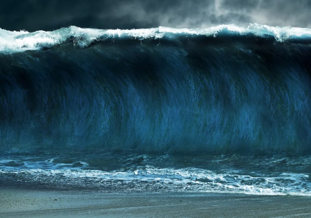
Unlike typical tsunamis, which are often caused by underwater earthquakes with limited vertical displacement, a mega-tsunami is the result of massive underwater disturbances. These can include sudden land shifts, underwater landslides, or large-scale fault movements. When this happens, entire volumes of ocean water are displaced violently, generating waves that can tower hundreds of feet high and travel miles inland.
The scenario becomes especially alarming when considering the secondary effects of a powerful earthquake along the Cascadia Subduction Zone. Coastal land in affected regions could sink as much as 6.5 feet. This vertical drop would leave cities and towns along the shoreline even more exposed to a rapidly approaching wall of water. In densely populated or low-lying areas, that added vulnerability could spell disaster.
States at Greatest Risk
The areas facing the most immediate threat are northern California, northern Oregon, and southern Washington. These coastal regions not only sit directly above the Cascadia fault but also have significant populations, infrastructure, and industries based along the shoreline.
However, the danger doesn’t stop there. Alaska and Hawaii, due to their location within highly active seismic and volcanic zones in the Pacific, are also part of the broader area of concern. A mega-tsunami originating off the Pacific Northwest could potentially reach these states, depending on the location and magnitude of the event.
The vast reach of a mega-tsunami means that even areas hundreds or thousands of miles from the epicenter aren’t necessarily safe. Tsunami waves, especially those of this magnitude, move at jetliner speeds and can cross entire ocean basins in a matter of hours. That gives coastal regions only limited time to respond once a warning has been issued.
What This Means Moving Forward
This emerging data serves as a stark reminder of the importance of coastal preparedness. While the estimated risk may not suggest an immediate event, the potential consequences are far too devastating to ignore. Community planning, public education, and early warning systems must remain priorities for states located near or around active seismic zones.
Increased awareness about the possibility of land subsidence—where ground levels drop after a quake—should also be part of future risk assessment models. A drop of several feet can dramatically change how tsunami waves behave when they reach land. For some communities, this could mean the difference between flooding and total destruction.
For now, this scenario remains a prediction, not a certainty. But as more research highlights the vulnerabilities of the Cascadia region and nearby areas, it becomes clear that preparation is the best form of defense.


